top of page

Infrastructure & Development
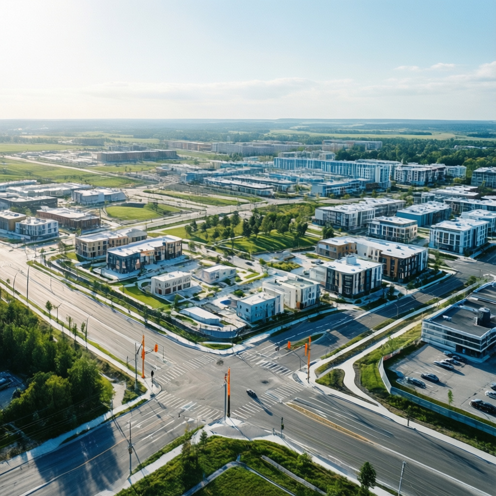
Comprehensive aerial imaging of infrastructure projects, land development, and urban planning initiatives. This work provides essential visual data for stakeholders, showcasing project scope, environmental context, and logistical considerations.

01
Infrastructure & Development

bottom of page